River · Guinea, Mali, Niger
Niger
The Niger River loops in a strange boomerang shape through West Africa, flowing toward the Sahara Desert before turning back to the sea. It supports millions of farmers and fishers.
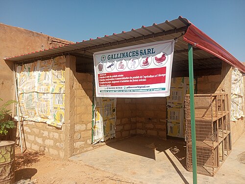
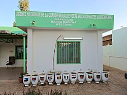
Picture credit: Rayaneib (CC0) · Ibrahimassoumane (CC0) · Doultraf (CC BY-SA 4.0) · Wikimedia Commons
Where is Niger?
The river begins at Guinea Highlands, Guinea.
It ends in the Gulf of Guinea, Atlantic Ocean.
Along the way it passes: Guinea Highlands (source) → Kouroussa, Guinea → Bamako, Mali → Ségou, Mali → Mopti (Inland Niger Delta) → Timbuktu, Mali → Gao, Mali → Niamey, Niger → Gaya, Niger → Lokoja (Benue confluence).
Countries on the river: Guinea, Mali, Niger, Benin, Nigeria.
The story behind it
The Niger begins in the wet, forested highlands of Guinea, surprisingly close to the Atlantic Ocean, yet instead of flowing straight to the sea it heads inland toward the Sahara Desert first. Partway through its journey the river spreads out into the Inland Niger Delta in Mali, a vast wetland of channels and lakes that floods every year, attracting huge flocks of pelicans and herons and supporting fishing communities and cattle herders. Near the ancient city of Timbuktu the river curves sharply and finally turns south toward the Gulf of Guinea, giving it its unusual boomerang shape on a map. In Nigeria it joins the Benue River before splitting into hundreds of channels across the Niger Delta, one of the world's largest river deltas, rich in wildlife but also in oil.
Questions children ask
How long is the Niger River?
The Niger River is about 4,200 kilometres long, making it the third longest river in Africa after the Nile and the Congo. It flows in a large curve through West Africa.
Why does the Niger River have a strange shape?
Instead of flowing directly to the nearby Atlantic Ocean, the Niger heads inland toward the Sahara Desert first, then curves near Timbuktu and turns south. This unusual boomerang-shaped path is caused by ancient changes in the landscape.
What is the Inland Niger Delta?
The Inland Niger Delta is a huge wetland in Mali where the river spreads into many channels and lakes long before reaching the sea. It floods every year and is one of Africa's most important places for birds and fish.
Where these numbers come from
Every figure on this page was checked against public reference sources before publication. Where sources genuinely disagree, the text says so.
Last checked: